VECTOR
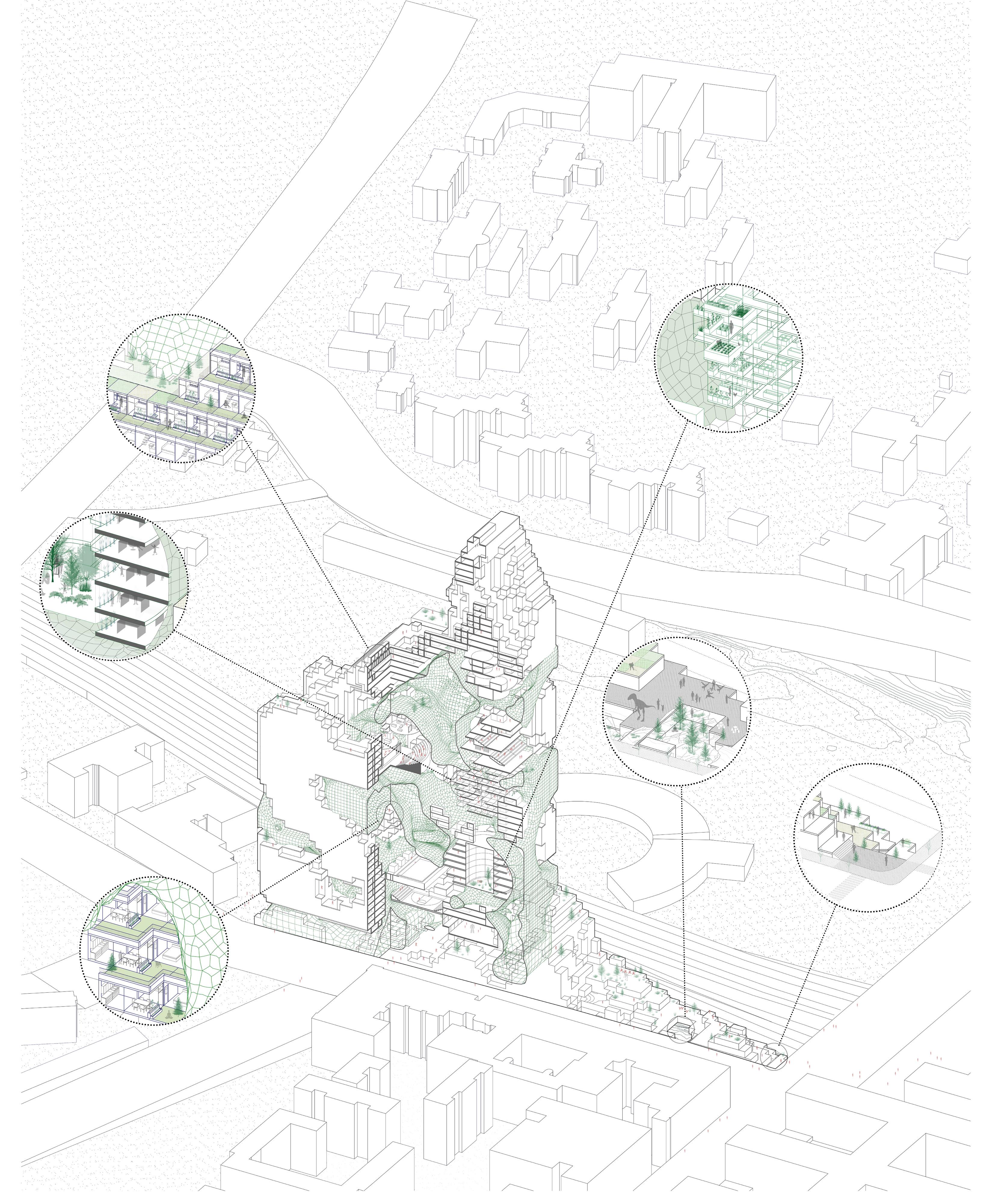
Information, which consist of geometric primitives, such as points, lines, curves, surfaces, shapes etc. can be more efficiently represented in the form of vector data.
This means that only the necessary information needed to reconstruct the geometry is stored while the actual image is recreated when this geometry is viewed.
For example, to represent the information about a line, only the location of two endpoints would be stored (these points can be understood as point vectors, hence the name for the data type) and the line itself would be generated as an interpolation of points in between when needed. This makes the data storage much more efficient compared to the raster format.
Additionally, vector data is “scaleless” meaning we can freely change the size of the display without compromising quality, which is perfect for displaying plans and drawings and it’s an industry standard for architectural plans as well as 3D models.
It is good to read The difference between vector and raster graphics before entering into the Vector Chapters.


